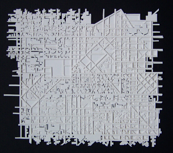
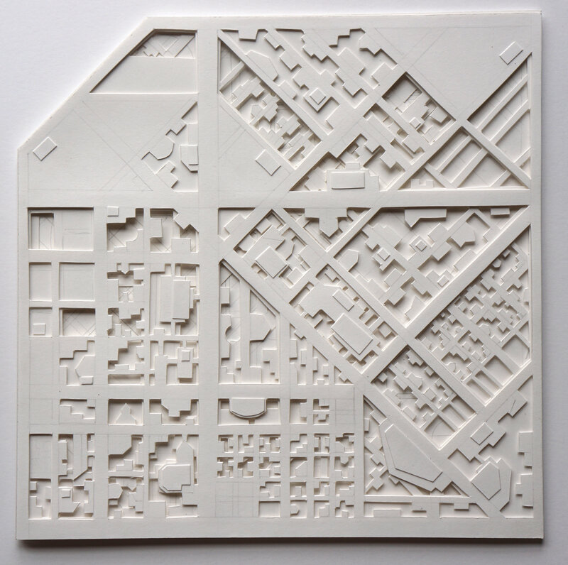
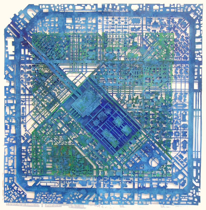
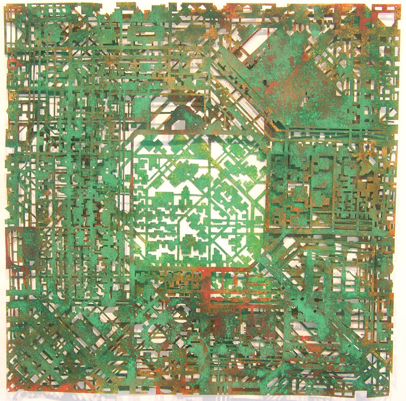
Circuit Maps explore the visual and conceptual connections between circuit boards and cities. Most of the pieces are imagined places inspired by the layout of specific cities, while a few; Washington, DC, Philadelphia, Chicago, and Baltimore, are more accurate reproductions of these cities. On mobile, click the white dot in the lower right corner of enlarged images to show title, date, media, size.
View fullsize
!["Layered City", 2007, cut paper, glue, 10 x 10 in.]()

"Layered City", 2007, cut paper, glue, 10 x 10 in.
View fullsize
![detail, "Layered City"]()

detail, "Layered City"
View fullsize
!["Layered Circuit #3", 2014, cut paper, graphite, glue, 8 x 8 in.]()

"Layered Circuit #3", 2014, cut paper, graphite, glue, 8 x 8 in.
View fullsize
!["City #5", 2016, cut paper, glue, 38 x 38 in.]()

"City #5", 2016, cut paper, glue, 38 x 38 in.
View fullsize
![detail, "City #5"]()

detail, "City #5"
View fullsize
!["City #6", 2016, cut paper, graphite, glue, 38 x 38 in]()

"City #6", 2016, cut paper, graphite, glue, 38 x 38 in
View fullsize
!["Blue Circuit: Ringstrasse", 2009, cut paper, ink, pigment, glue, 26 x 26 in.]()

"Blue Circuit: Ringstrasse", 2009, cut paper, ink, pigment, glue, 26 x 26 in.
View fullsize
!["Green Circuit: Central Square", 2009, cut paper, ink, pigment, glue, 21 x 21 in.]()

"Green Circuit: Central Square", 2009, cut paper, ink, pigment, glue, 21 x 21 in.
View fullsize
!["Orange Circuit", 2008, cut paper, ink, pigment, glue, 21 x 21 in.]()

"Orange Circuit", 2008, cut paper, ink, pigment, glue, 21 x 21 in.